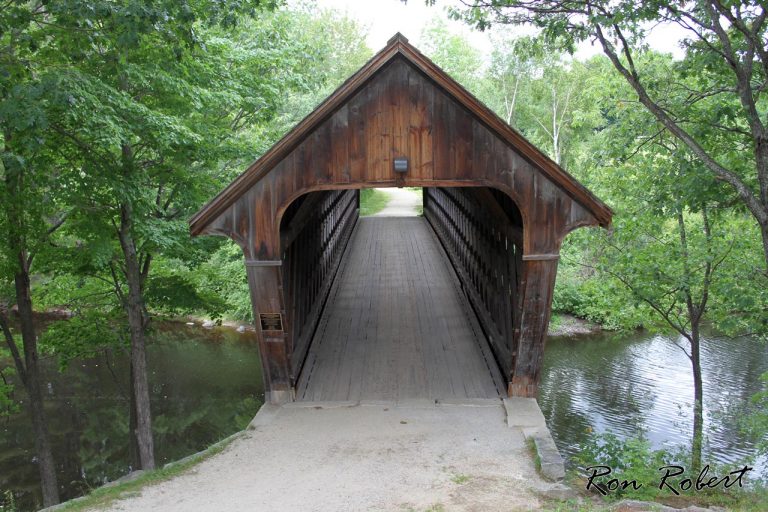
henniker covered bridge
Attractions 48
Beaches 4
Biking 6
Boating 18
Businesses 16
Camping 104
Fairs 3
Festival 1
Fishing 8
Foliage 7
Guided Tours 37
History 17
Legends 14
Museums 7
Not Quite NH 12
Oddities 8
Photo Worthy 28
Photos 10
Picnic Spots 17
Recipes 4
Restaurants 10
Shopping 10
State Parks 11
Things to do 93
Videos 1
Waterfalls 59
Weather 3
Webcams 23
Weddings 41
Wildlife 1
Sorting Options
Favorite
The Henniker Covered Bridge is located on Grove St in Henniker, near the New England College campus and crosses the Contoocook River. The Henniker Covered Bridge was built in 1972 and is listed in the World Guide of Covered Bridges (WGCB), number 29-07-12, and is New Hampshire covered bridge #63. Today, the Bridge is used for foot traffic only. Read more...
