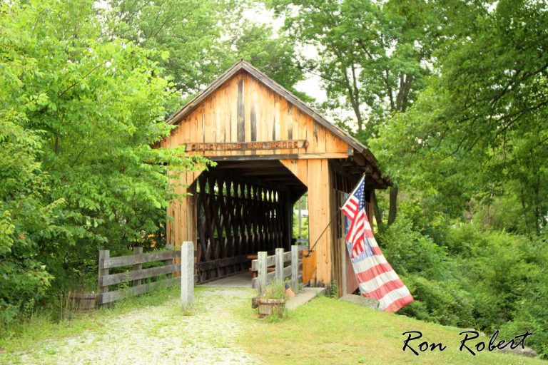

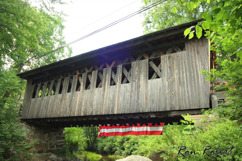
Cilleyville Covered Bridge is located on the east side of Rt. 11 (Main St) across from the end of Elkins Hill Rd in Andover NH and crosses Pleasant Brook.
Cilleyville Covered Bridge was built in 1887 by 3 men, who locals say got into an argument about the bridge and cut some of the timbers too short on purpose, causing the bridge to lean to one side. In 1959 the bridge was closed to auto traffic, foot traffic is still allowed.
Cilleyville covered bridge is also known as Bog Bridge, from the nearby Bog pond.
The Cilleyville covered bridge is listed with the World Guide of Covered Bridges (WGCB), number 29-07-01, and is New Hampshire covered bridge #16.
Photo Credit: Ron Robert

Sorry, no records were found. Please adjust your search criteria and try again.
Sorry, unable to load the Maps API.
Andover
New Hampshire
03233
United States
